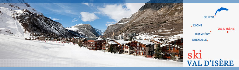
Val d'Isère Map
This map of Val d'Isère can be seen in different formats. The main view of the village below is the Map:Terrain version showing the location of the main lifts. Other versions can be seen by clicking on the buttons at the top right: ( street map; satellite view; satellite view with roads).
The controls at the top left corner move the map up or down or left or right. (The map can also be moved by clicking on it, holding the mouse down and then moving the mouse.) The "+" and "-" symbols allow zooming in for a closer view of Val d'Isère in any format, or zooming out for a view of the area around the resort.